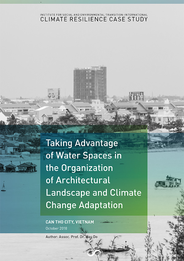
Can Tho City – Taking Advantage of Water Spaces in the Organization of Architectural Landscape and Climate Change Adaptation
Case Study
Overview
Vietnam is one of the countries most vulnerable to climate change and sea level rise. Of the 84 developing coastal countries assessed under a sea level rise study by the World Bank (Dasgupta et. al. 2009), Vietnam is among those expected to experience the most severe impacts of global warming induced sea level rise on its population, GDP, urban expansion, and wetlands. The report pointed out the risk of severe disasters in many areas in Vietnam, among which the Cuu Long (Mekong) River delta, the country’s rice basket, is one of the worst affected.
Can Tho City has a strategic position in the Cuu Long River delta. It is the driver for development in other provinces in the river delta. Many national agencies are based in the city, in all areas from economics, military, culture, communication to education and training. Can Tho City lies in an area with a network of crisscrossed rivers and channels, in between green stretches of fruit orchards, making up a natural-ecological-social urban landscape typical to the entire region. This natural landscape provides the overarching guide to the planning and design of the city, and a great advantage if effectively explored and employed. It is potentially the most powerful driver for the development of the city’s economy, society, culture, transport system, and especially its urban landscape.
Along with the development process in Vietnam, Can Tho has been rapidly urbanized during the past few years, promoting the needs for social, economic and cultural development, and very importantly for the reorganization of the urban architectural and spatial landscape. These needs have become more and more critical in the city’s efforts to keep pace with its development potentials. New urban areas are planned and constructed in the context of recent adjustments of the city’s mater plan, and gradually transforming Can Tho’s urban architectural and spatial landscape. The adjustments to Can Tho city’s urban master plan until 2030, with vision to 2050 was approved by the Prime Minister on August 28, 2013.
Authors: Assoc. Prof. Dr. Hau Do, VUPDA
Citation: Do. H (2018). Case Study: Can Tho City Taking Advantage of Water Spaces in the Organization of Architectural Landscape and Climate Change Adaptation. Vietnam, Can Tho: Institute for Social and Environmental Transition-International.
Funded by: The Rockefeller Foundation